Transform raw data into powerful insights using our geospatial mapping expertise.
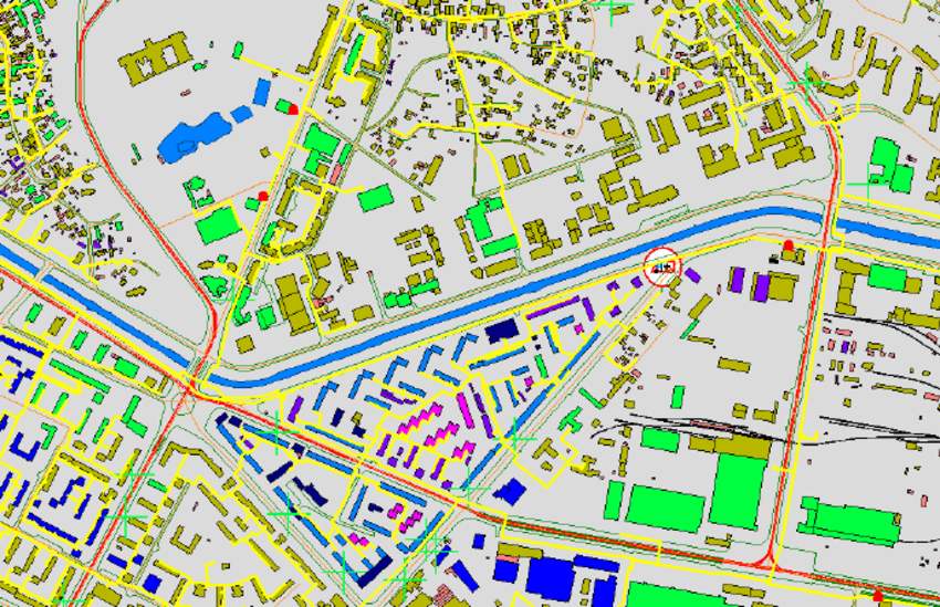
Land & Cadastral Surveying
High-accuracy land surveys for government, infrastructure, and real estate projects.
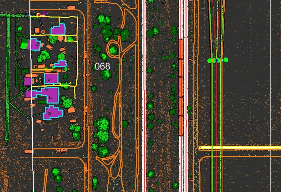
LiDAR & Remote Sensing
Focus on how you can help and benefit your user. Use simple words so that you don't confuse people.
Why Choose Veda GeoTech?
At Veda GeoTech, we believe that geography is not just about maps—it’s about understanding the world better. Join us as we reshape the future of mapping and spatial intelligence.
✅ Accuracy-First Approach ✅ Certified & Experienced Team ✅ Fast Turnaround Times ✅ Custom Solutions for Every Sector