Transform raw data into powerful insights using our geospatial mapping expertise.
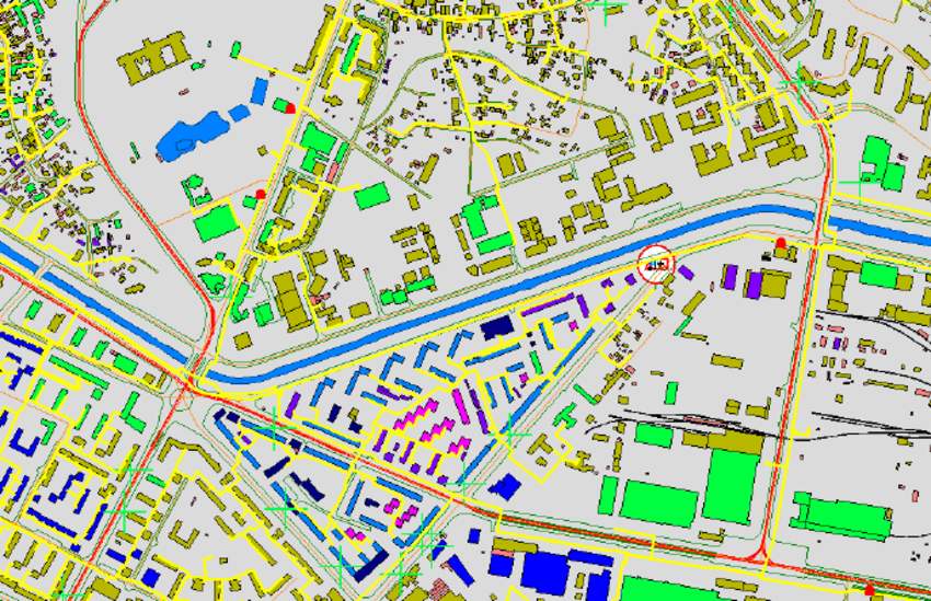
Land & Cadastral Surveying
High-accuracy land surveys for government, infrastructure, and real estate projects.
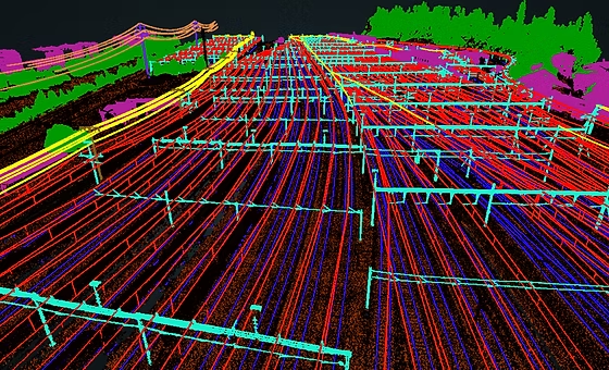
LiDAR & Remote Sensing
Focus on how you can help and benefit your user. Use simple words so that you don't confuse people.
From state-level mapping projects to private land assessments, we serve a wide range of clients across government, infrastructure, mining, agriculture, and real estate sectors.
About Veda Geotech
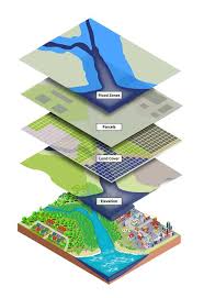
At Veda GeoTech, we bring geography to life through advanced geospatial technologies, delivering accurate, efficient, and actionable mapping solutions tailored to your needs. Whether you are building infrastructure, managing land records, or planning urban expansion, our cutting-edge GIS, drone, and surveying services empower you to make smarter, data-driven decisions.
Let’s Build the Future, One Map at a Time.
At Veda GeoTech, we believe mapping is more than just data—it’s about understanding, planning, and creating a smarter, sustainable world.